
KANSAS CITY, Mo. (KCTV) – A classic summertime pattern is expected this week with hot & humid conditions, alongside a few chances of rain & storms.
Monday – Wednesday: Summer-like
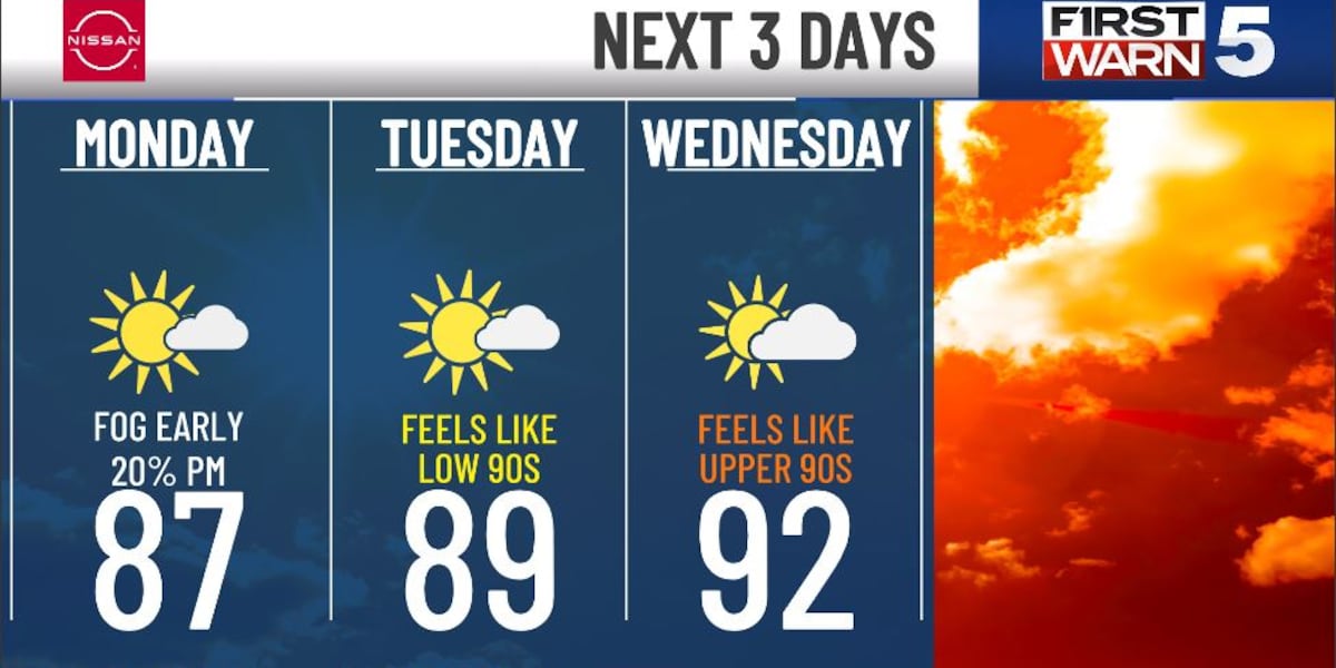
Another round of morning fog is possible as you start the week with temps in the upper 60s. Likely another day in the mid-to upper 80s with a low 20% chance for non-severe, widely scattered showers or storms in the afternoon. Temps rise to the upper 80s Tuesday, peaking in the low 90s Wednesday, as winds turn southerly. It’ll be somewhat muggy, allowing feels-like temps to be about 5 degrees hotter than the actual temps. Overall, it’ll likely be dry through mid-week. A wetter period emerges Wednesday night with a 30% chance for rain & storms.
Thursday – Friday: Wetter & stormier period
We’re watching for two rounds of rain & storms as a shortwave trough dips down. The first round could be Wednesday night into Thursday morning. The next round could be Thursday night into Friday morning. Overall, this stretch has a 30-50% chance of rain & storms. There is some low-end severe signaling, which is something we’ll keep an eye on. Cloud cover & rounds of rain & storms will allow for a slight cool-down to the upper 80s in terms of high temps.
Saturday: Match day
The day is likely dry, but there is a low 20% chance of rain & storms. High temps will be near 90, with humidity making it feel more like the mid-90s. It’ll be cooler, feeling more like the upper 80s, by the match at 8 pm.
Next Sunday & on: Another heat wave?
Temps are on the rise Sunday to the low 90s, which could be the start of another heat wave, consisting of a prolonged stretch of feels-like temps around 100 or higher.
Copyright 2026 KCTV. All rights reserved.
Comments are closed.