A development application has been lodged for Multiple Dwellings, located at 33 Vulture Street, West End.
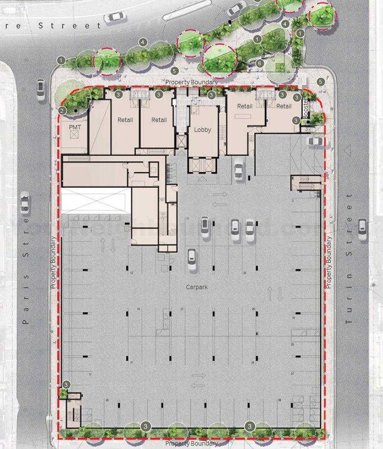
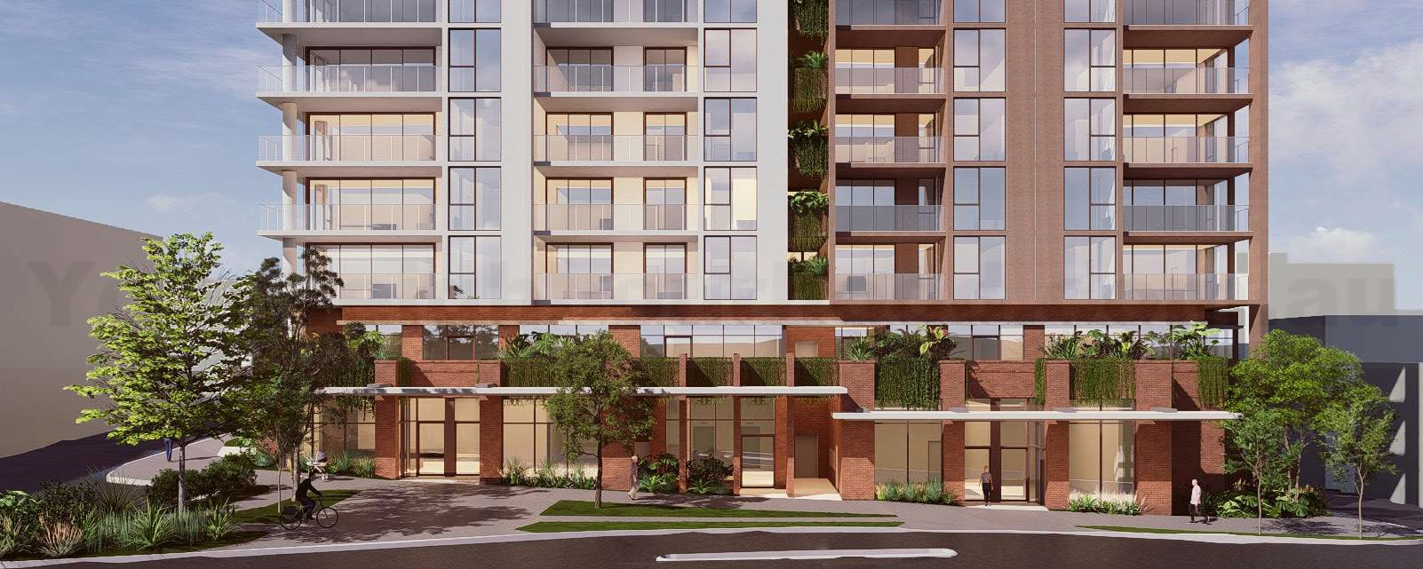
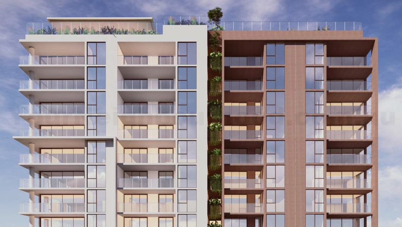
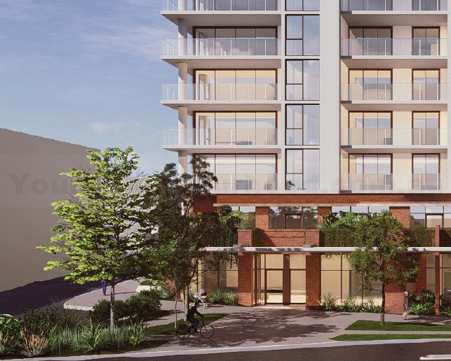
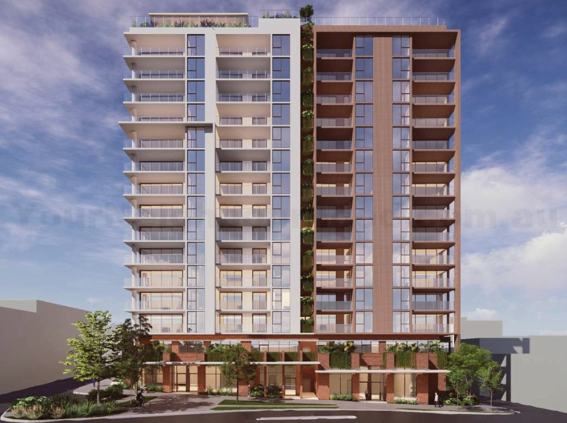
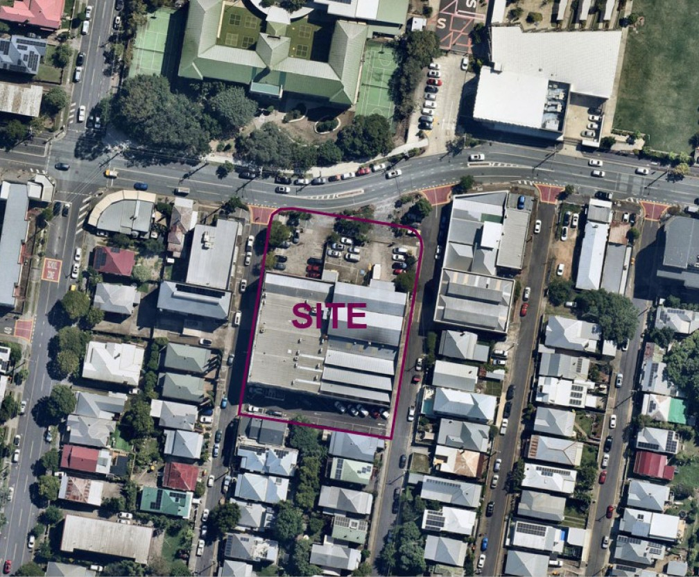 Designed by Mode Design, the proposal is a thirteen (13) storey residential building that will contain one hundred and thirty two (132) residential dwellings along with three (3) podium levels. The site contains existing heritage buildings that will preserve the historic commercial character façades of buildings along Paris and Turin Streets. The development aims to activate Vulture Street with ground-floor retail tenancies while providing modern residential living in a prime inner-city location.

Development Details
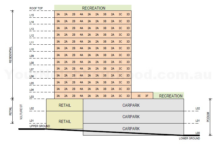
16 storeys (13 residential levels + 3 podium levels)
132 dwellings
65 x two-bedroom units (49%)
41 x three-bedroom units (31%)
26 x four-bedroom units (20%)
Commercial Space
Ground floor of Vultural Street
Podium 2 level
602sqm of GFA
8 tenancies (food and drink outlets, shops, offices)
Site Area: 3,321sqm
Car Parking: 199 spaces across three podium levels
Bicycle Parking: 165 spaces (resident and visitor)
Communal Open Space: 1,184sqm total
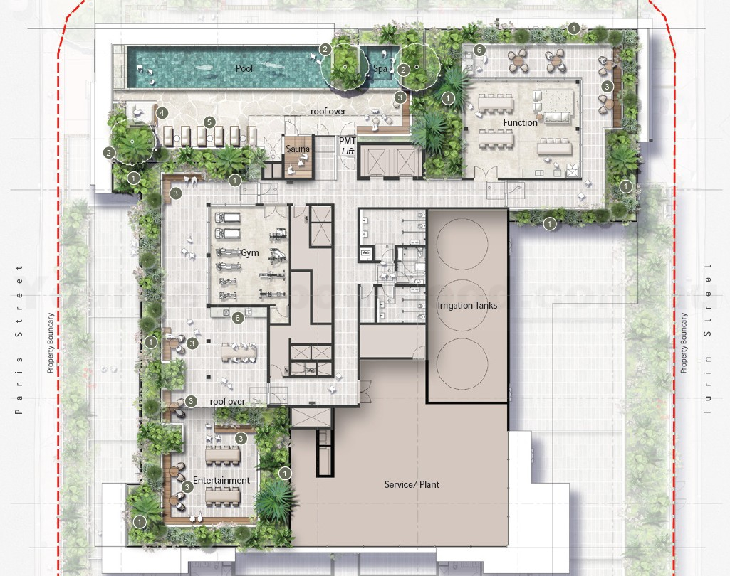
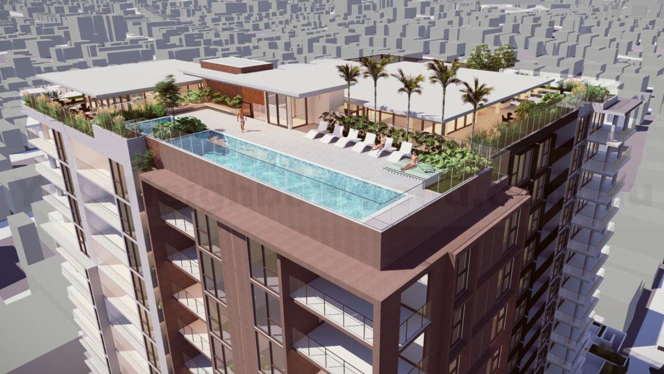
Rooftop garden with pool, spa, sauna, barbecue areas, and function space
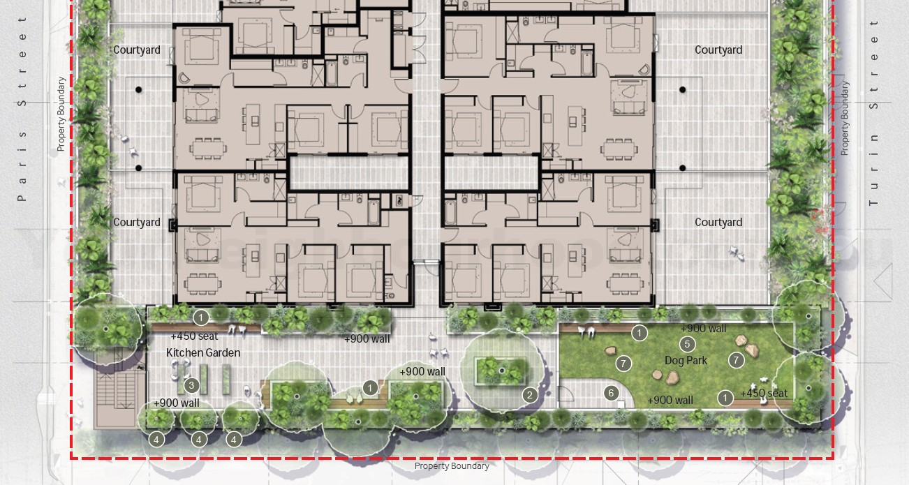
Podium-top open space with landscaping, seating, herb garden, and dog park
Private balconies for all units (16-31m² each)
Landscaping
Heritage Retention
Communial Space
Podium-Top Level 3
southern end of the building.
Landscape trees
Bench seating
Community herb garden
Turfed dog park.
Rooftop Garden
Swimming pool and spa
Sauna
Barbecue areas
Covered seating
Community garden
Reservable function space
The planners at RPS state, “The proposal on the subject site is consistent with the height contemplated for these land holdings opposite and will aid in recouping some of the residential accommodation lost by the development of the landholding opposite for other purposes.”

We encourage you to like the Your Neighbourhood Facebook page to be updated on other projects or developments.
The Application Information and References
Date Lodged: 1 May 2025
Address: 439 Montague Road, West End
Council Reference: A006760664
Zone: HDR1 High density residential, Mixed Use
Neighbourhood Plan: South Brisbane riverside
Town Planning: RPS Group
Landscape Design: RPS Group
Design Drawings: Mode Design
Interactive Image: Google Street View and Aerial
Subscribe to our weekly newsletter
News articles are presented in an unbiased manner, using publicly accessible information that includes referenced links for readers to obtain further information. The facts of the proposed government projects, media releases, school upgrades, and development applications are based on the available information at the time of publication, sourced directly from company websites, media releases, and development application materials. We reference all our information at the end of the articles and promote the creators with website backlinks.
(Visited 48 times, 1 visits today)

Comments are closed.