
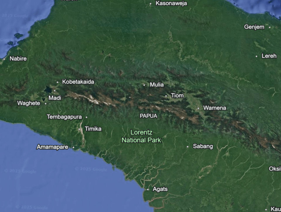
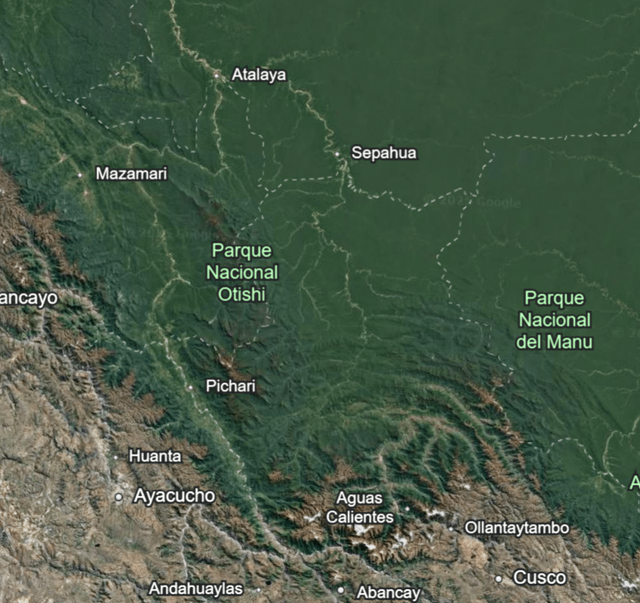
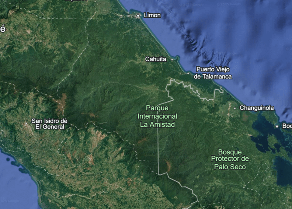
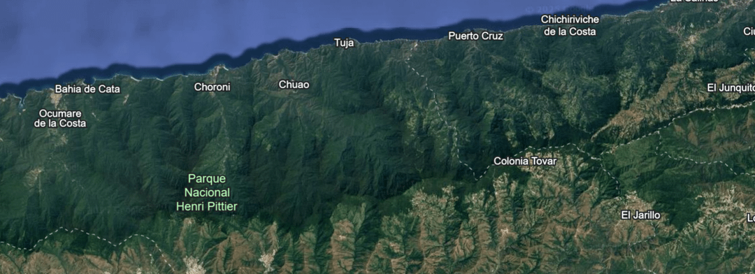
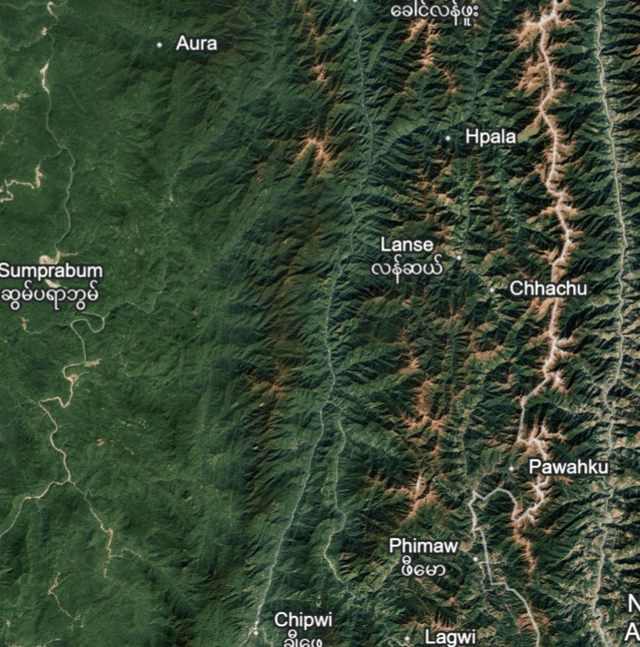
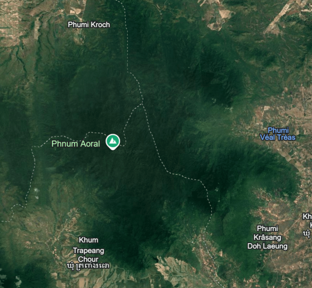
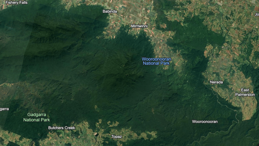
I am a pretty avid google earth enjoyer and as such have been looking at a lot of moutains and there is something that I always come across, the vegetation seems to get significantly darker the higher up the mountain you look. While I do know a little about botany and how leaf structures can change with different atmospheric pressures, moisture and possibly higher UV radiation from higher atitudes I still find this phenomina interesting and would like to know the exact causes for this landscape sized color change. I specifically noticed this occuring most often in places of very high percipitation and in tropical latitudes.
by Impressive-Track3859
5 Comments
Doesn’t the darker green just indicate denser vegetation?
Edit: No, I’m seriously asking, hence the question mark.
Could it be there’s a higher prevalence of evergreens at higher elevations?
Not sure but want to follow along and find out! Some guesses: higher altitudes grow slower so there’s less light green new growth. Evergreens favor these areas more. Lack of bright green glasses and things. Less total plant coverage let’s you see the shadows between the trees more so it looks darker.
Forest age, agricultural activities, less rainfall at lower elevations. Mountains could be composed of a different substrate than surrounding areas and therefore different available nutrients.
Do they enhance the images to show contour or are these raw photos? I’m not sure if satellite images are the same as a regular camera or if the image is designed to look this. I have no idea sorry if it’s a dumb suggestion